GUATEMALA
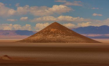
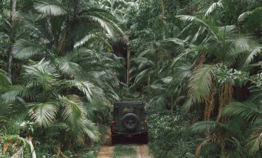
Guatemala rises sharply from lowland rainforest to volcanic highlands shaped by tectonic force and cultural continuity. Overex travels here for elevation transitions, mountain corridors and dense jungle approaches that demand controlled movement. This is not relaxed tropical travel. This is Central America with altitude — compact, rugged and layered.
GT
TRAVEL SNAPSHOT
TERRITORRY
- • REGION: Central America
- • CAPITAL CITY: Guatemala City
- • LANDSCAPE: Volcanic highlands, cloud forest, jungle lowlands
- • ALTITUDE RANGE: Sea level – 4,200m+
- • CLIMATE: Tropical lowlands / cool highland exposure
- • POPULATION DENSITY: Concentrated in highland regions
- • OFFICIAL LANGUAGE(S): Spanish
- • LOCAL CURRENCY: Guatemalan Quetzal
EXPEDITION PROFILE
- • BEST SEASON: Dry season (Nov–April)
- • REMOTENESS: Moderate in jungle and rural highlands
- • DRIVING CONDITIONS: Mountain switchbacks, rural highland roads, jungle access tracks
- • PACE OF TRAVEL: Moderate
- • TRAVEL STYLE: Pioneer Tours / Leader Tours / Expeditions
- • DIFFICULTY: Moderate
- • LOCAL INTERACTION LEVEL: High
- • ELECTRICITY: 120V
Antarctic Peninsula
OVEREX LATITUDE SERIES 2026 PARAMARIBO → IQUIQUE
EXPEDITION CONTEXT
• Volcanic chain shapes interior routing
• Rapid altitude changes across short distances
• Dense vegetation limits visibility in lowlands
• Strong indigenous and rural presence in highlands
• Infrastructure varies between regions
FIELD NOTES
• Steep gradients and narrow mountain roads
• Heavy rainfall during wet season
• Limited shoulder space on rural routes
• Fuel reliable in main corridors
• Border crossings structured but variable in timing

