VENEZUELA
Venezuela’s landscape is defined by transition — from the northernmost extensions of the Andes to the flat grasslands of the Llanos and the isolated plateaus of the Guiana Highlands. Overex travels here for diversity of terrain and the sense of deep interior movement, where plains, mountains, rivers and forests converge across long distances.
VENEZUELA
TRAVEL SNAPSHOT
TERRITORRY
- • REGION: South America
- • CAPITAL CITY: Caracas
- • LANDSCAPE: Northern Andes, Llanos grasslands, Guiana Highlands, Orinoco basin
- • ALTITUDE RANGE: Sea level to ~4,978 m (Pico Bolívar)
- • CLIMATE: Tropical lowlands, savanna rains, mountain variation
- • POPULATION DENSITY: Mixed — high in valleys, sparse inland
- • OFFICIAL LANGUAGE(S): Spanish
- • LOCAL CURRENCY: Venezuelan Bolívar
EXPEDITION PROFILE
- • BEST SEASON: Dry season in Llanos & highlands (Dec–Apr)
- • REMOTENESS: Moderate–High inland
- • DRIVING CONDITIONS: Plains highways, mountain passes, remote tracks, river plainss
- • PACE OF TRAVEL: Moderate
- • TRAVEL STYLE: Expeditions
- • DIFFICULTY: Moderate
- • LOCAL INTERACTION LEVEL: Moderate
- • ELECTRICITY: 120V / 220V
Antarctic Peninsula
OVEREX LATITUDE SERIES 2026 PARAMARIBO → IQUIQUE
EXPEDITION CONTEXT
• Andes extend into Mérida region, shaping northern highland corridors
• The Llanos form wide savanna plains draining toward the Orinoco
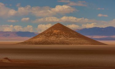
• Guiana Highlands host table-top plateaus and tepuis, e.g., Mount Roraima and Angel Falls
• River systems and plains create long interior movement routes
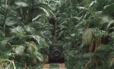
• Infrastructure varies widely, with vast unpopulated interior sectors
FIELD NOTES
• Seasonal rains in Llanos affect routing and river levels
• Mountain weather in Mérida changes rapidly
• Fuel and services sparse outside main corridors
• Dense forest and plains navigation requires careful planning
• Significant variation in road quality across regions

